See progress remotely
Give stakeholders a current visual reference without asking everyone to be on site.

GroundPoint Visuals
Professional aerial construction documentation across Long Island and New York.
Not just another drone flight
Construction changes every day. GroundPoint returns throughout the build to capture that change with intention—giving builders, developers, and owners a clearer way to follow progress and share it.
Explore recurring coverageGive stakeholders a current visual reference without asking everyone to be on site.
Group every capture by project and date so the history remains useful.
Turn repeat visits into comparisons, milestone updates, and completion media.
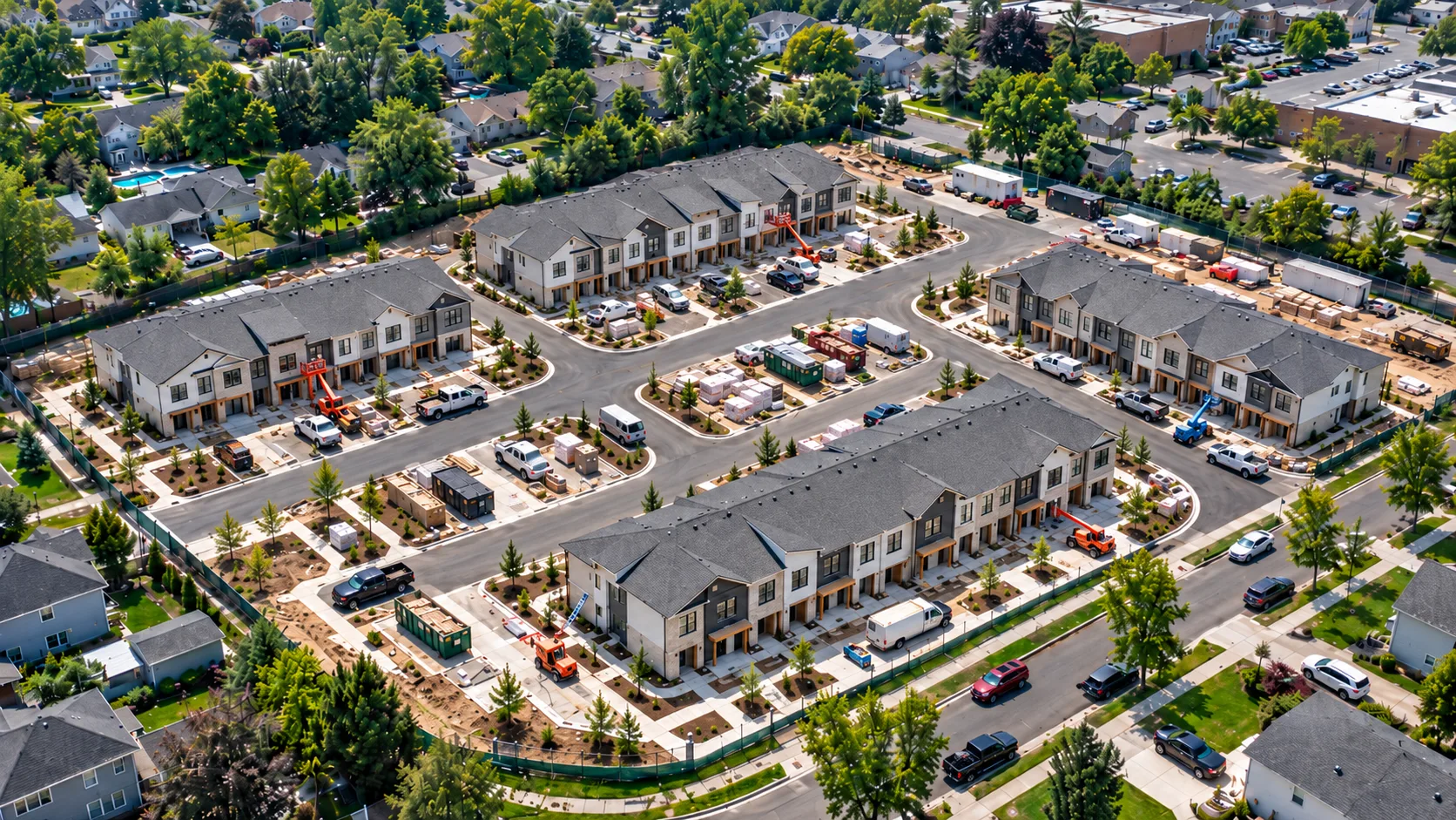
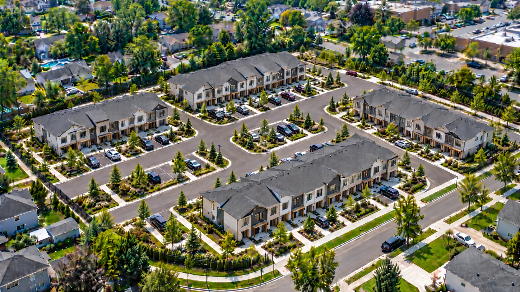
Construction timeline
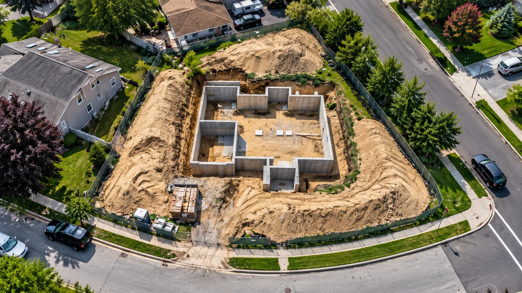
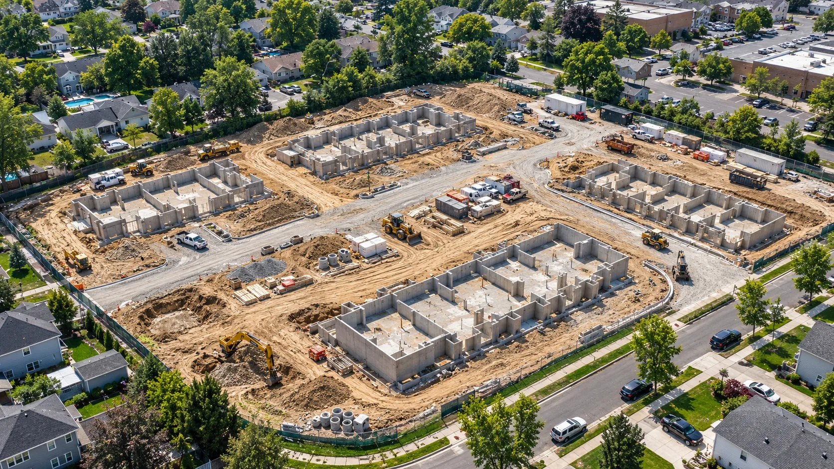
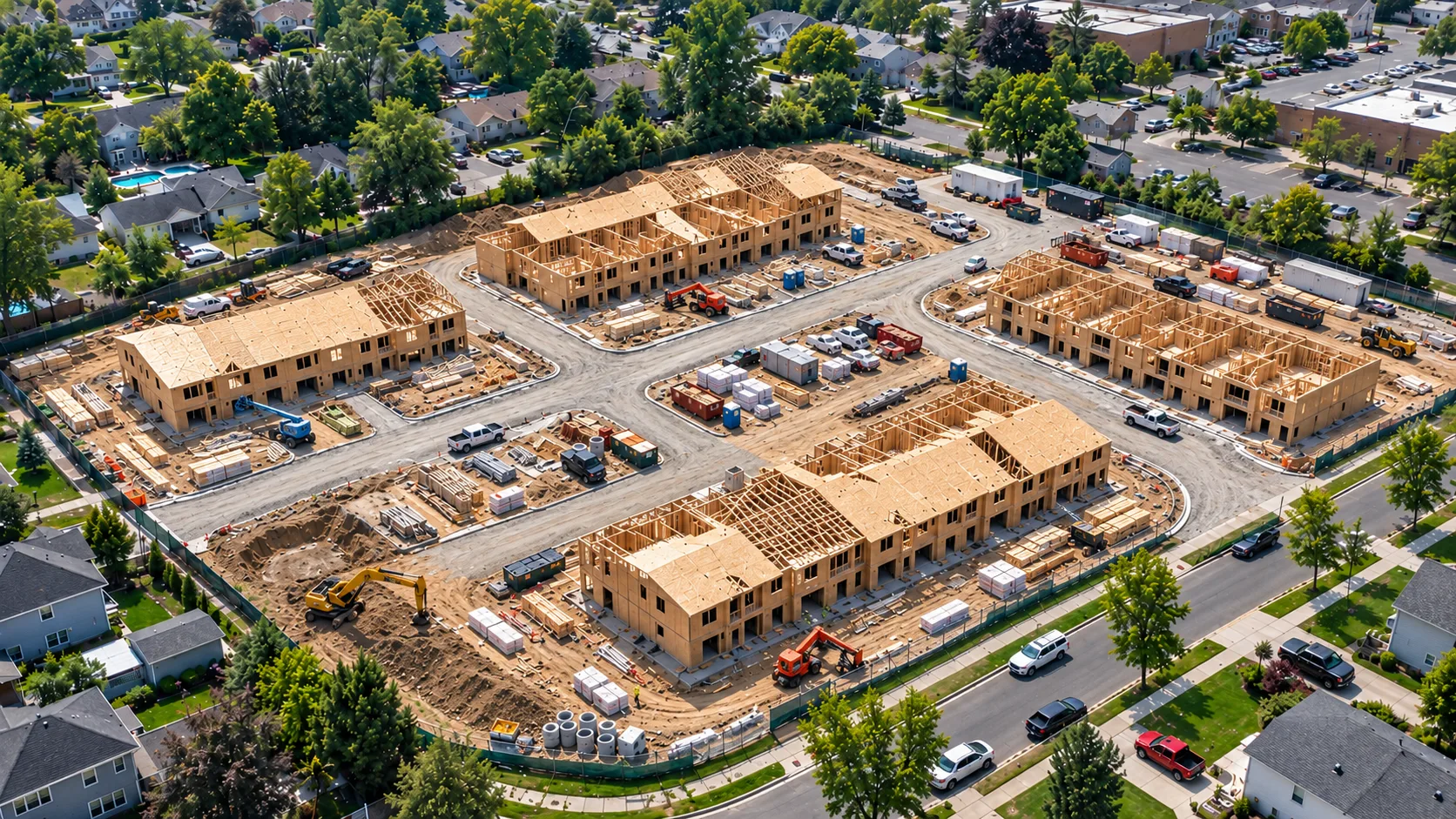
An illustrative demonstration of how repeated aerial perspectives can make site progress instantly legible.
Illustrative demonstrationCompare flights
Compare repeat aerial captures without losing the surrounding site context.
Illustrative Construction Progress Demonstration · AI-generated imagery
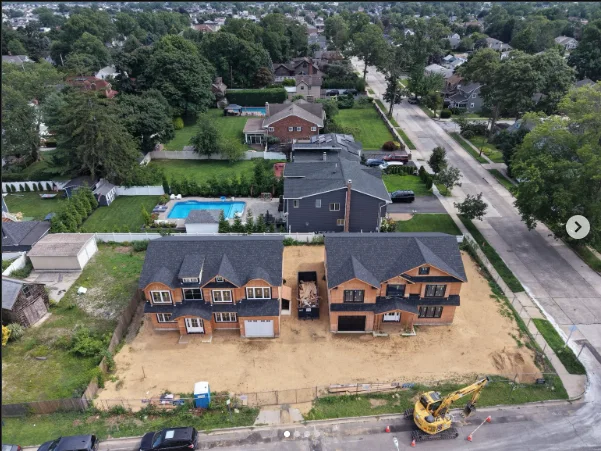
Actual GroundPoint work
Authentic aerial captures from active Long Island residential construction.
Client portal preview
Recurring coverage is being designed around a secure, date-driven delivery experience for teams managing active projects.
PHASE 02PHASE 03PHASE 04Bring the whole project into view